North Backbone Trail
Hiking Trails
 View Photos (47) View Photos (47)
|
 View Maps (4) View Maps (4)
|
North Backbone Trail Information |
| Length: | 4.0 miles |
| Type: | One Way |
| Gain/Loss: | +2767'/-1113' |
| Difficulty: | Very Hard |
| Trailhead: | Blue Ridge Road (Wright Mountain) |
| Location: | South of Wrightwood |
|
North Backbone Trail Elevation Profile
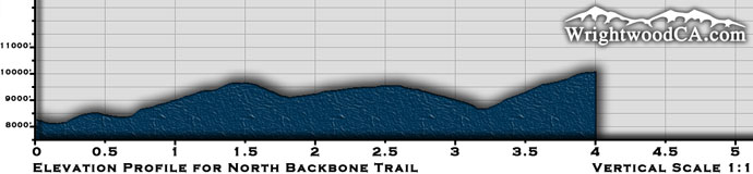
*Elevation data provided by National Geographic Topo!*
North Backbone Trail Description
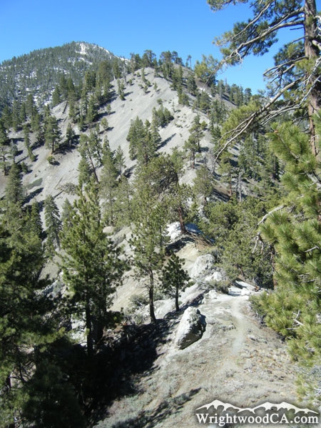
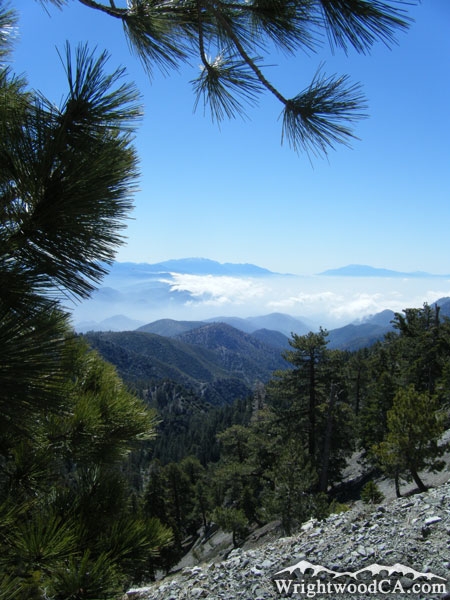
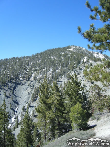
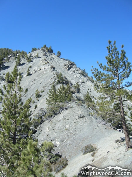
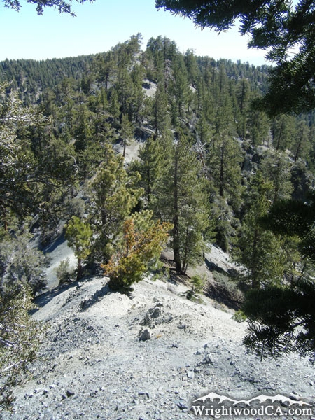
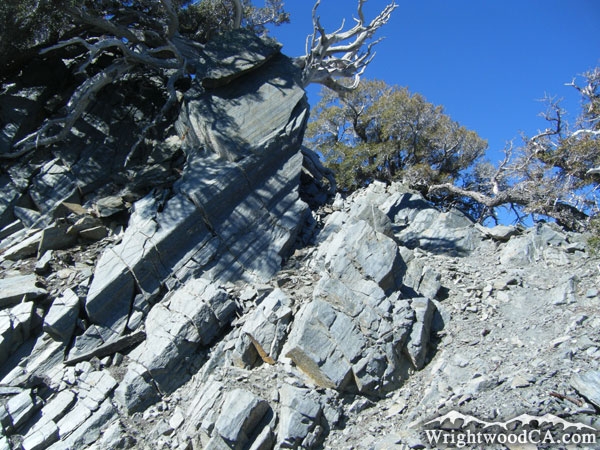
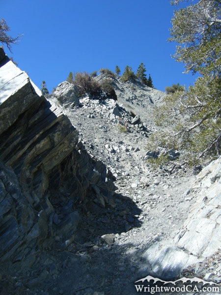
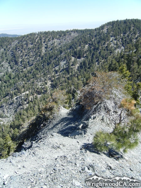
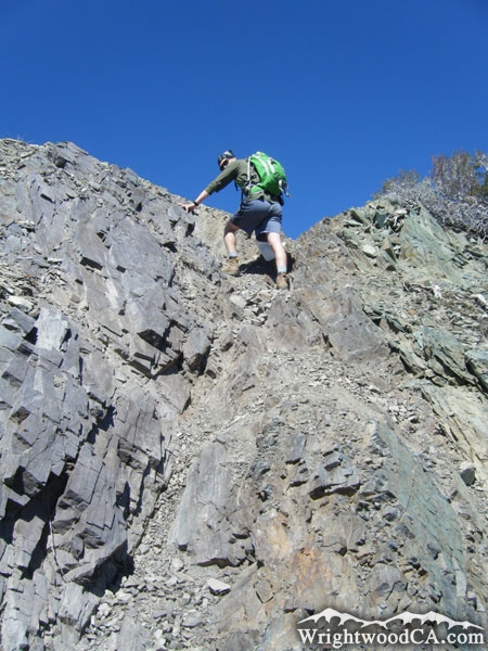
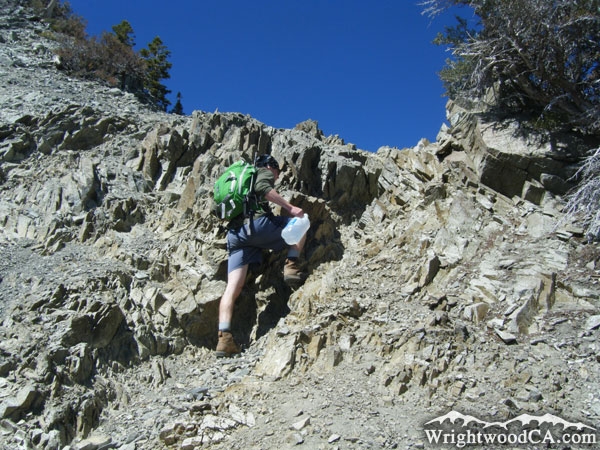
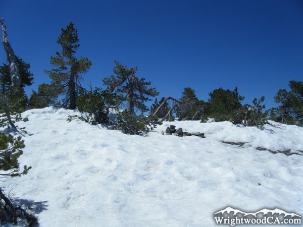
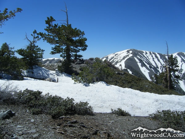
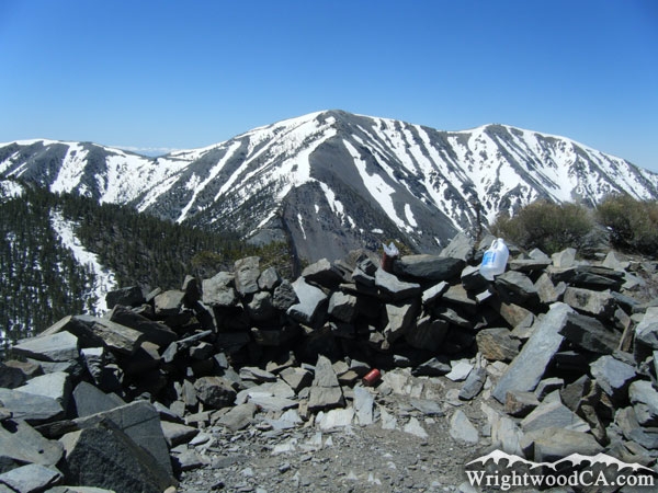
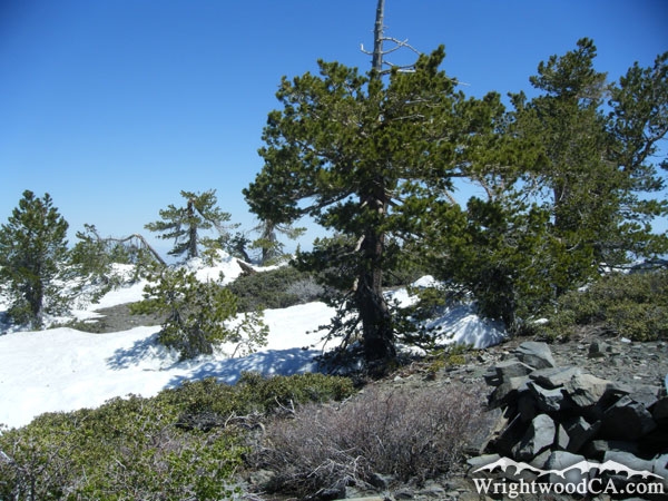
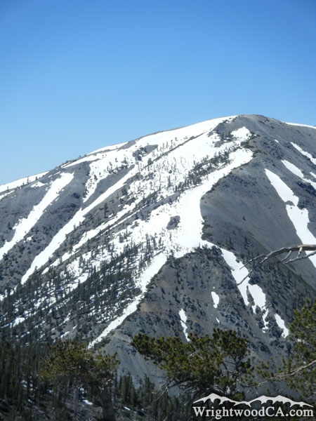
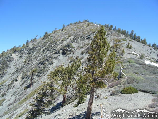
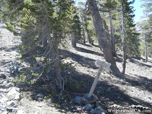
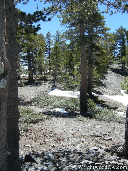
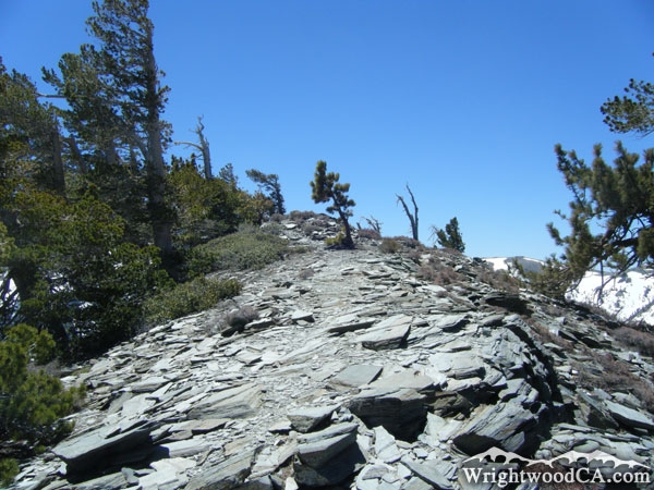
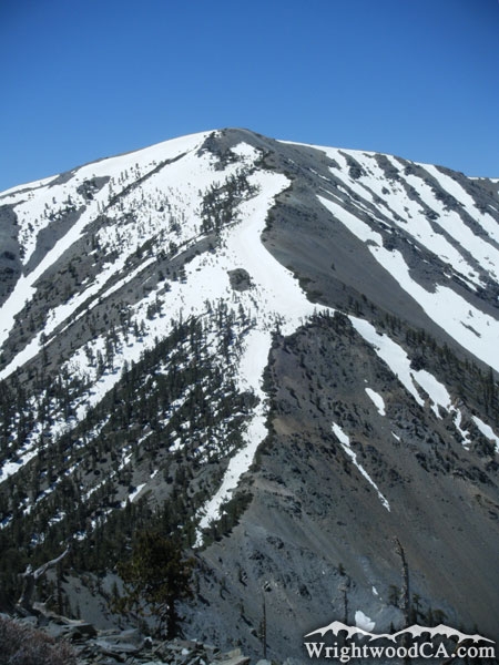
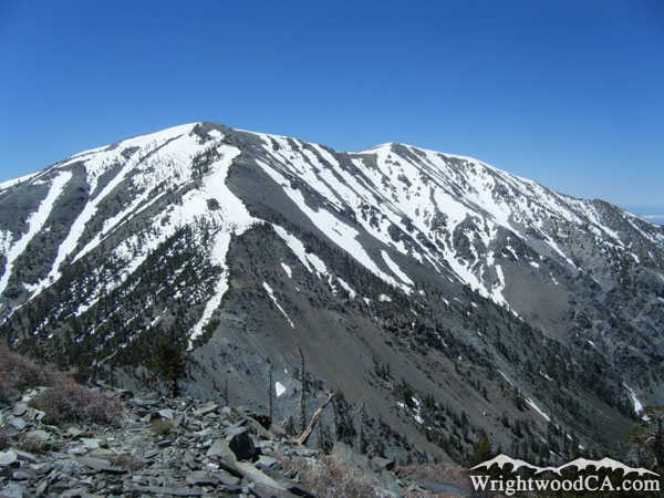
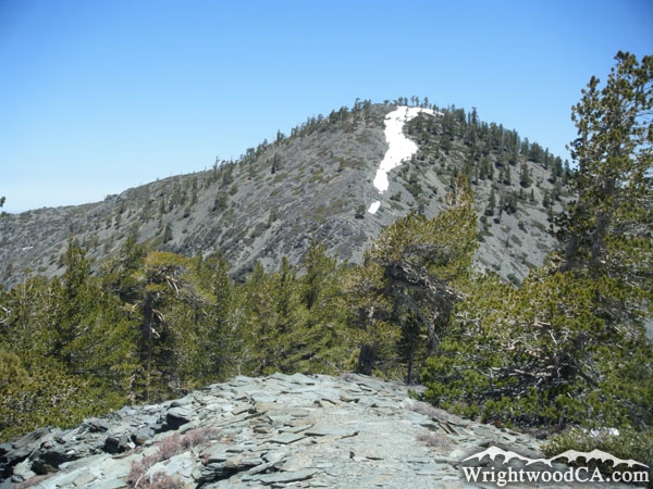
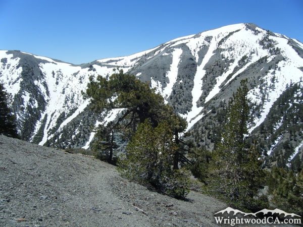
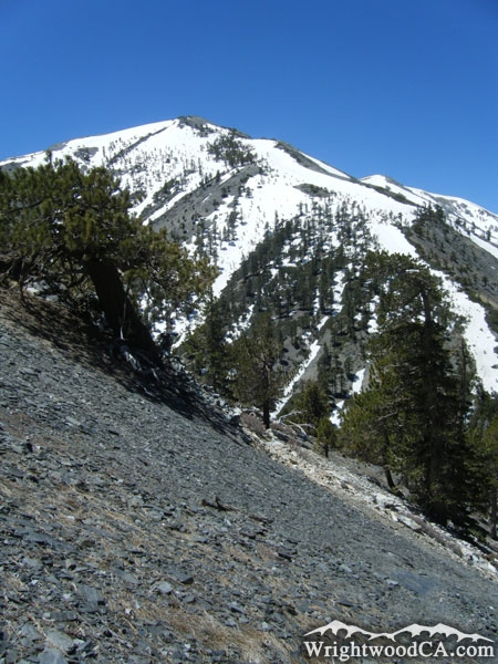
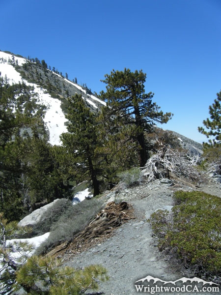
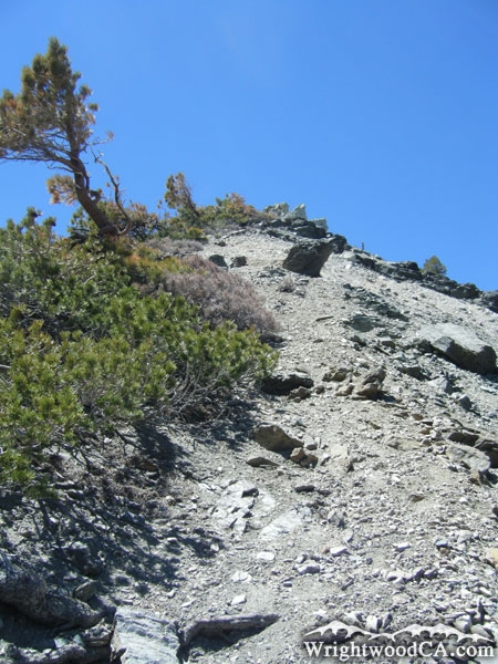
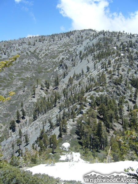
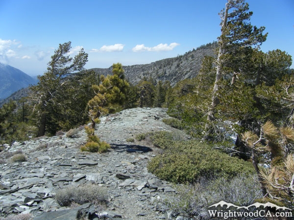
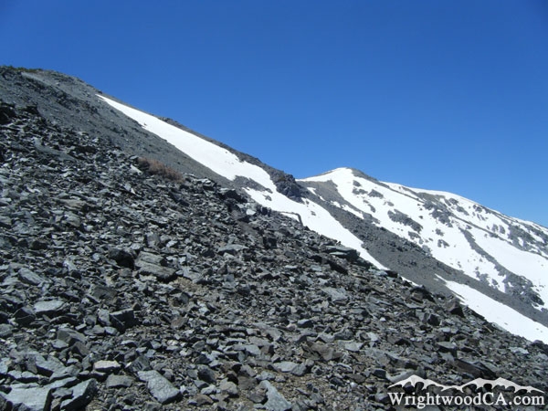
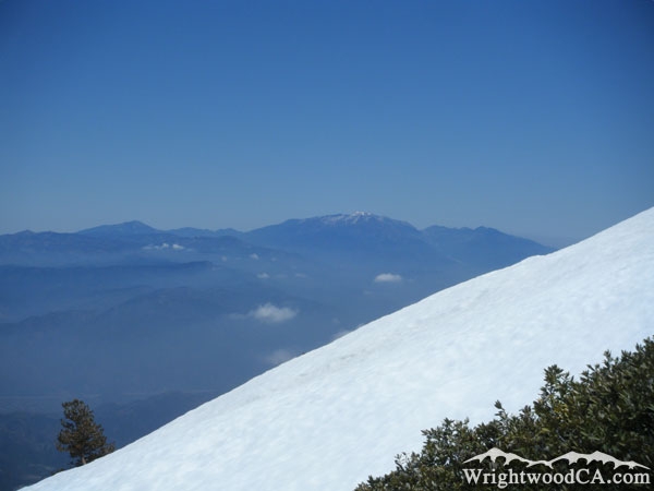
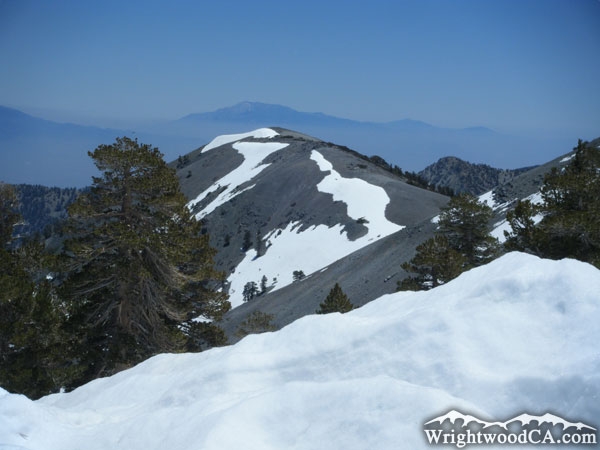
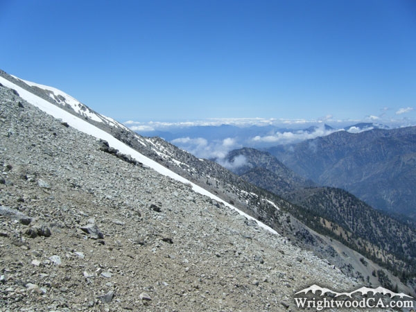
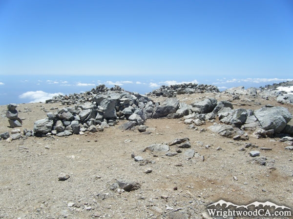
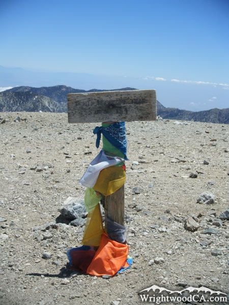
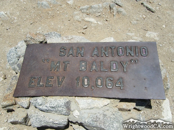
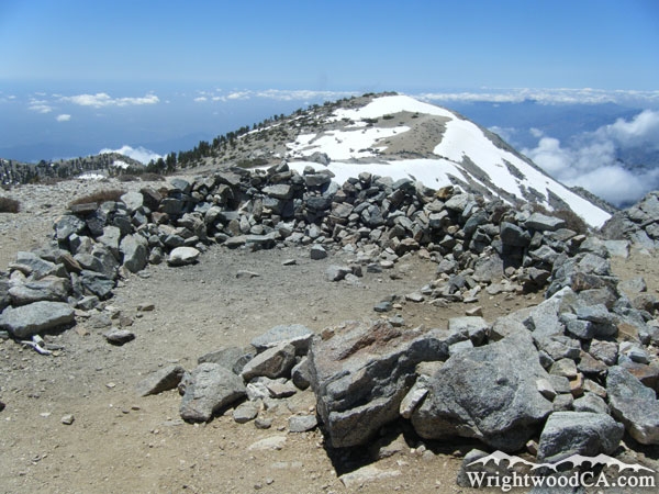
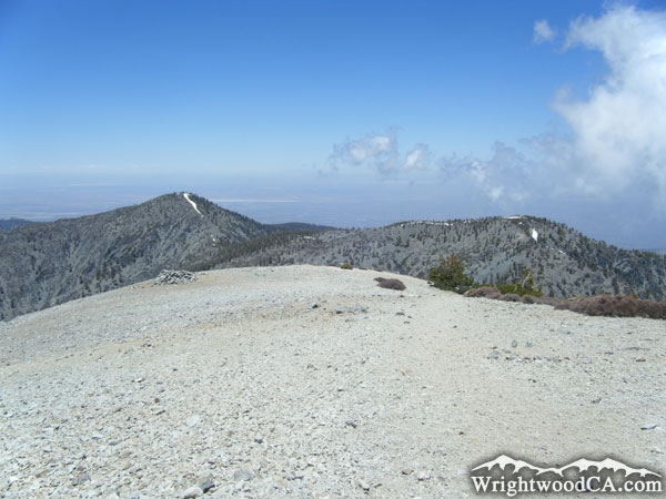
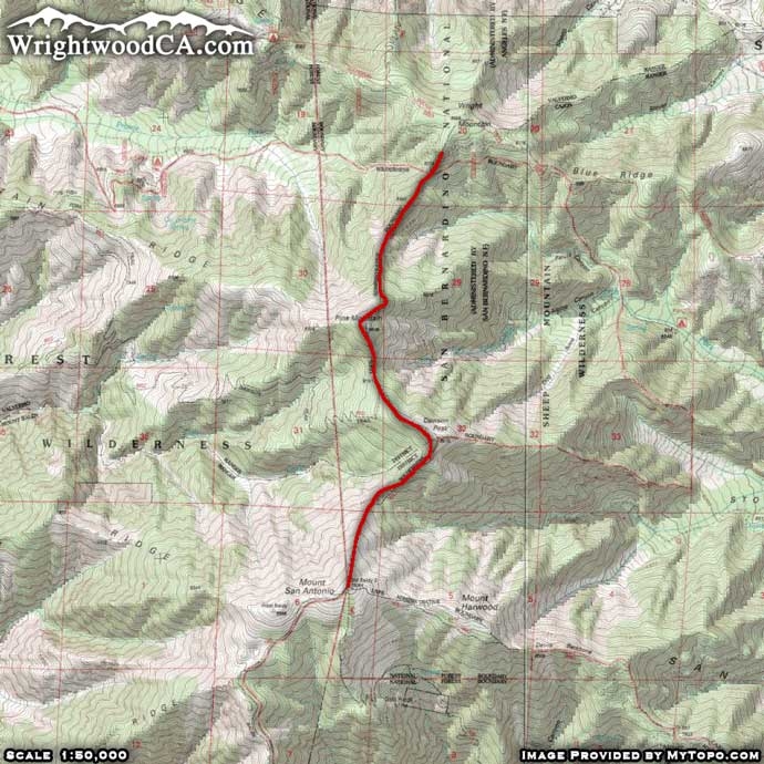
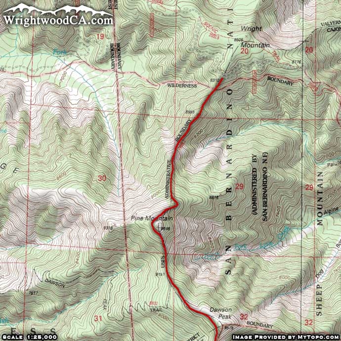
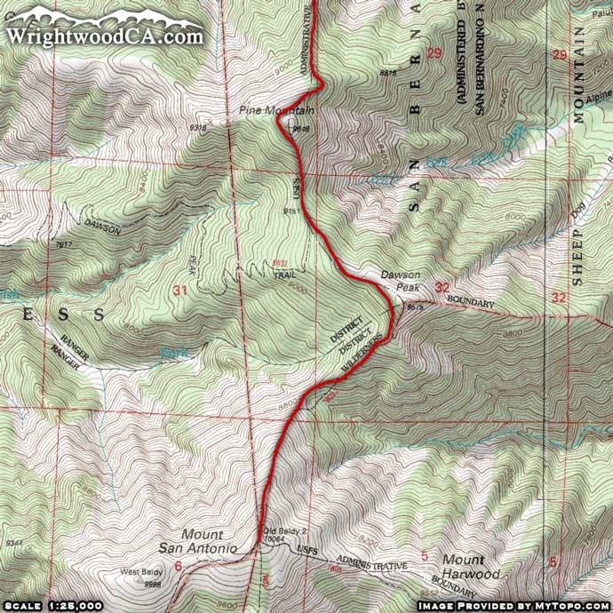
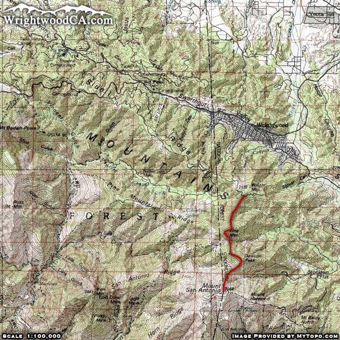
The North Backbone Trail is located south of Wrightwood and connects Wright Mountain (Blue Ridge) to the peak of Mt Baldy. This is without question the most difficult trail in the area. The North Backbone Trail doesn't waste your time with easy switchbacks... rather it gets straight to the point and forces you to climb steep sections of mountain side. Climbing one mountain wouldn't be so bad, but the North Backbone Trail forces you up Pine Mountain (elevation 9,648'), down and up Dawson Peak (elevation 9,575'), down and finally up to the peak of Mt Baldy (San Antonio at 10,064'). These are the three highest peaks in the San Gabriel Mountains and the North Backbone Trail doesn't let you miss any of them.
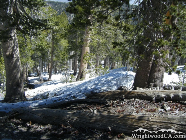
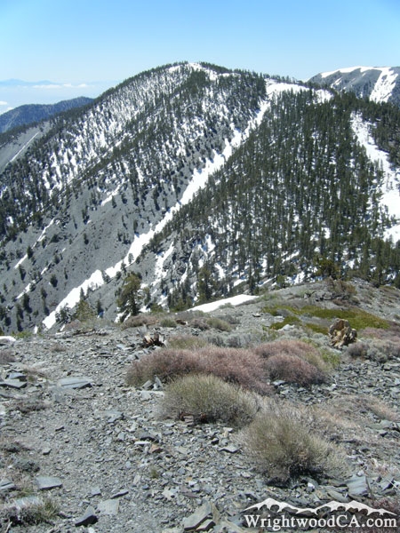
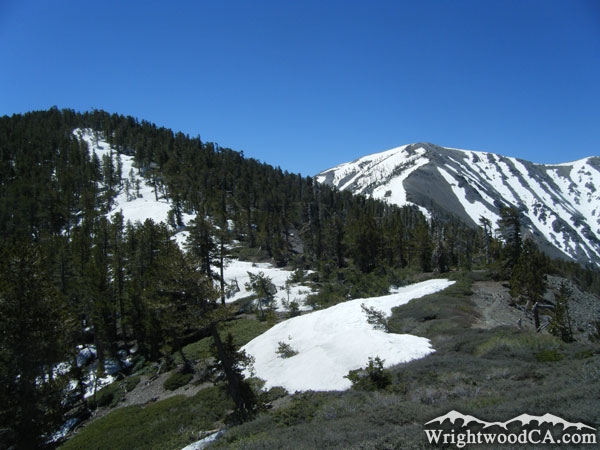
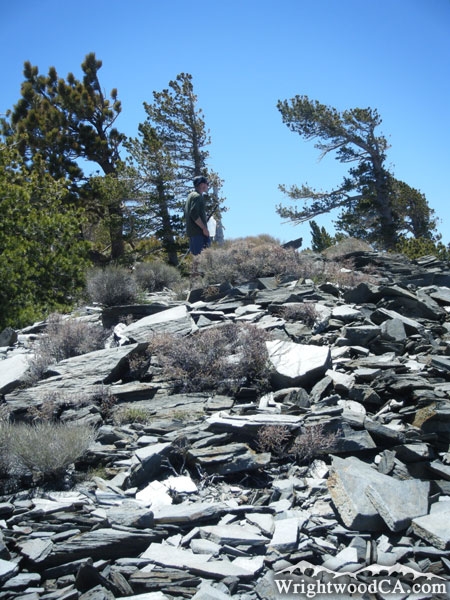
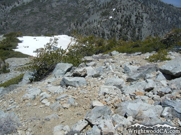
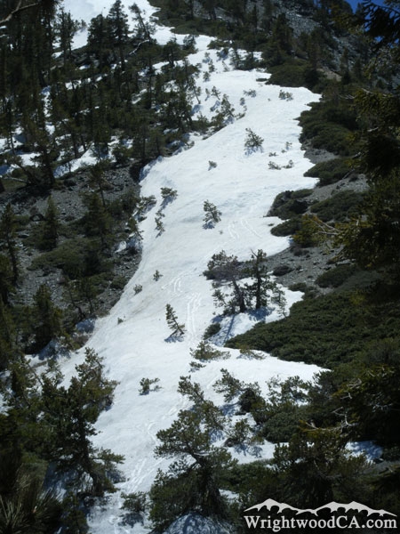
The trail itself is maintained well enough that you won't lose the trail until you hit large patches of snow (depending on the season). In any case, you know the general direction you're headed...which is up. It's easy to find the trail if you lose it temporarily. If hiking this trail, don't do it alone and make sure you bring a lot of water. The last thing you want to do is make it to Mt Baldy and not have enough food and water for energy to make it back home. This trail is not for the weak at heart and should only be attempted by those in really good shape who know what their bodies are capable of. If you had a hard time on the Acorn Trail or Mt Baden Powell Trail, this one probably isn't for you.
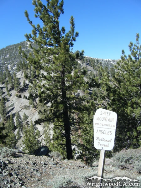
Directions to North Backbone Trail from Wrightwood
From Wrightwood, take Hwy 2 westbound past Big Pines up to Inspiration Point. From Inspiration Point, take Access Road 3N06 eastbound along the Blue Ridge past both of Mountain High's Ski Resorts and past the Blue Ridge and Guffy Campgrounds. Continue approximately 2 miles past the 3N39 Access Road and the trail head will be on your right, where the north ridge of Pine Mountain meets the south side of Wright Mountain.
Don't forget to display a National Forest Adventure Pass in the windshield of your vehicle.
North Backbone Trail Photos
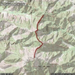
North Backbone Trail Maps
|